|
Size: 2338
Comment:
|
Size: 2354
Comment:
|
| Deletions are marked like this. | Additions are marked like this. |
| Line 17: | Line 17: |
| [[attachment:powermap2.jpg|{{attachment:powermap2thumb.jpg}}]] | [[attachment:hand-made-topological-map.jpg|{{attachment:powermap2thumb.jpg}}]] |
Map
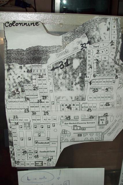
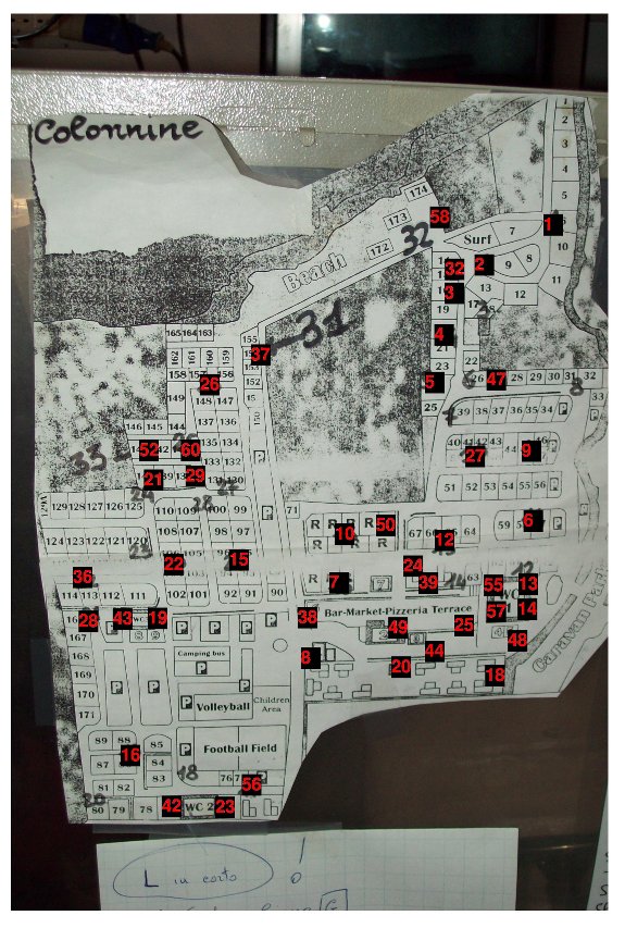
This page is dedicated to the site map of the camping for the WBMv3
Contents
Map
- Hand Made Topological Map (in red the last IP digit of the deployed nodes over the camp)
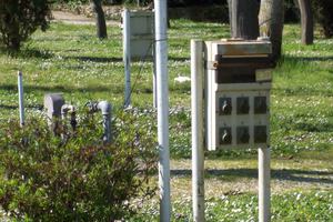
FREE PLUGS ("-" means free but not working)
col. n. |
free plugs |
1 |
1, 3 |
2 |
2 |
3 |
NOT EXISTS |
4 |
3 |
5 |
1 (dirty) |
6 |
-2 |
7 |
1,2 |
8 |
NO FREE PLUGS |
9 |
1 |
10 |
3,-5,-6 |
11 |
1,2 |
12 |
-1 |
13 |
1,3 |
14 |
-2 |
15 |
4 |
16 |
2,3 |
17 |
2,-3 |
18 |
1,2,-3 |
19 |
1,2,-3 |
20 |
NOT EXISTS |
21 |
1,2,3 |
22 |
1,2,3 |
23 |
2,3 |
24 |
1,2,3 |
25 |
1,2,3 |
26 |
5,6,7 |
27 |
1,3 |
28 |
1,2,3 |
29 |
UPPER PLUGS FULL, 5, -6 |
30 |
1,2 |
31 (32 on the map) |
NO FREE PLUGS |
32 (31 on the map) |
2 |
33 |
-1,-2 |
JPG
GPX data
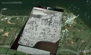
GPS data matched with the map in the picture: PowerPlugs.gpx
Original GPS data: Trk_10-03-07_13-13-17.xml

